Kurvenfokus Feature Overview
80+ features — visualize, analyze, and compare motorcycle telemetry — on iPhone, iPad, and Android.
Screenshots
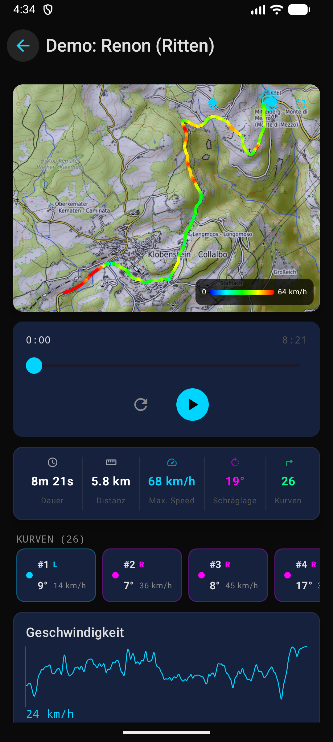
SwiftUI + MapKit — dark theme with an interactive dashboard, corner detail view, and telemetry charts.
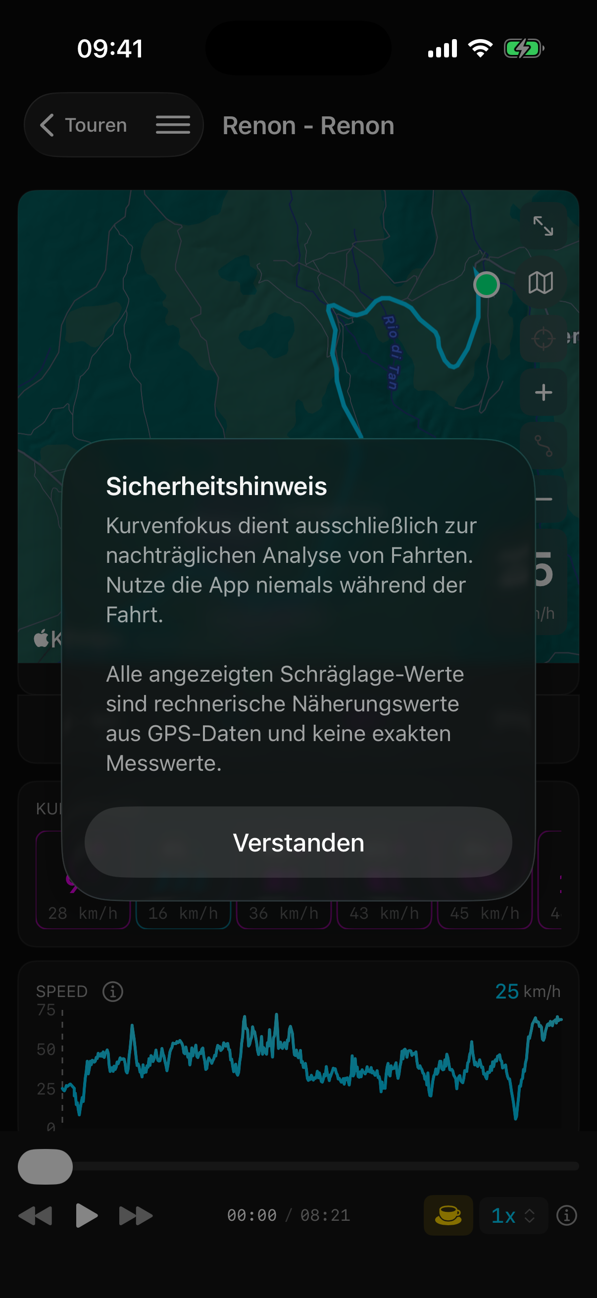
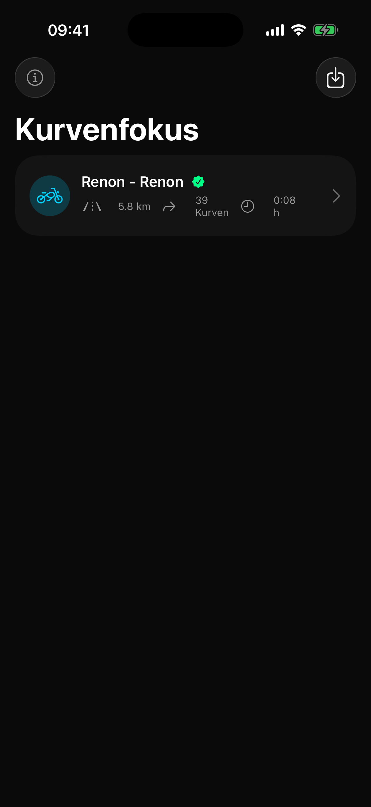
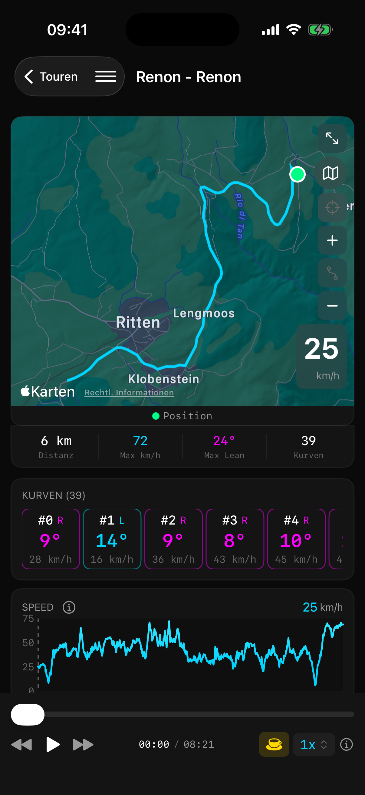
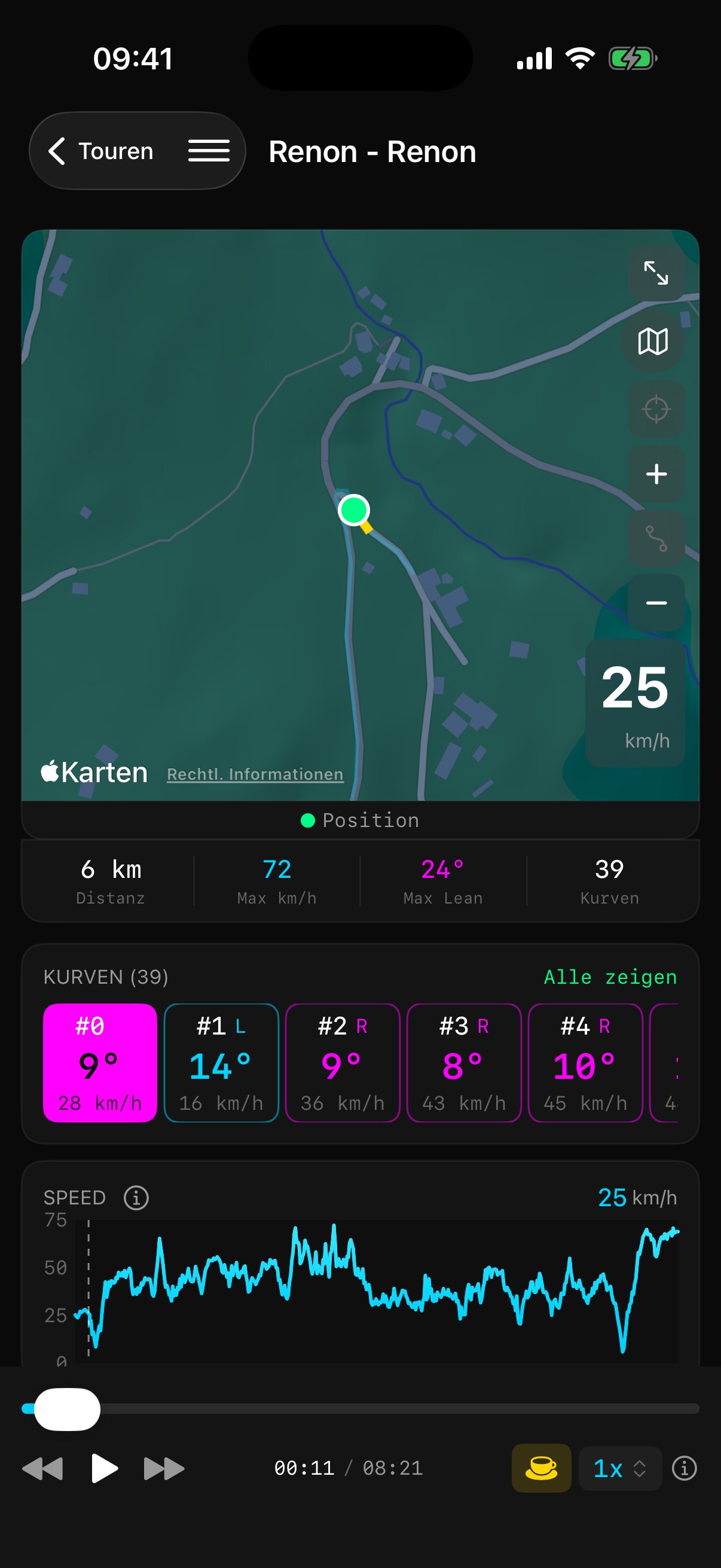
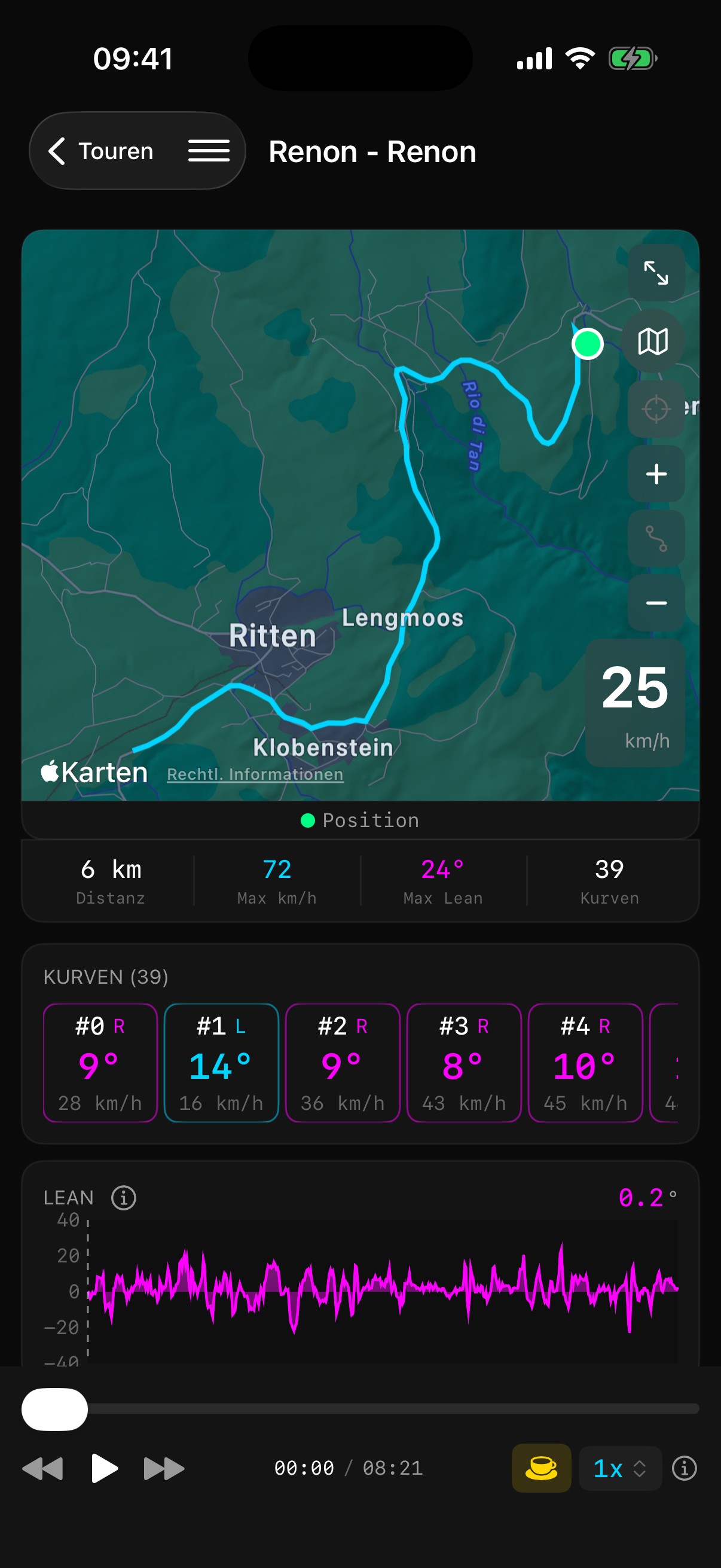
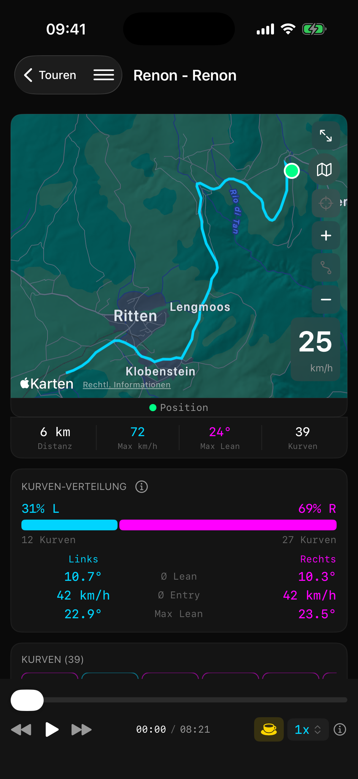
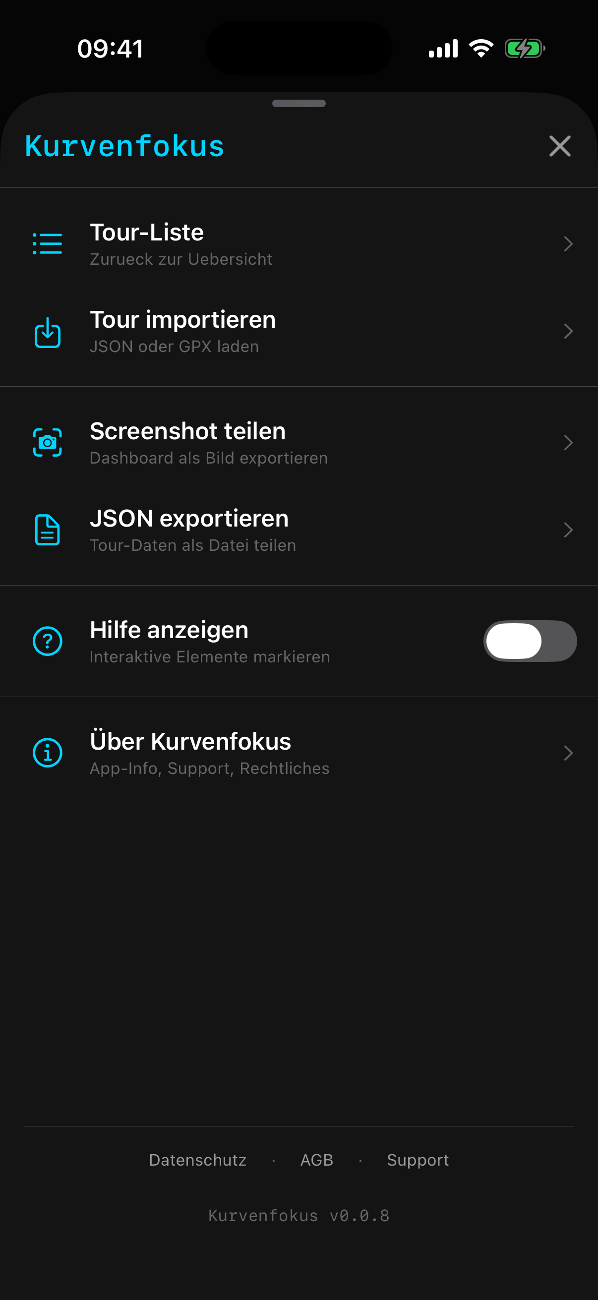
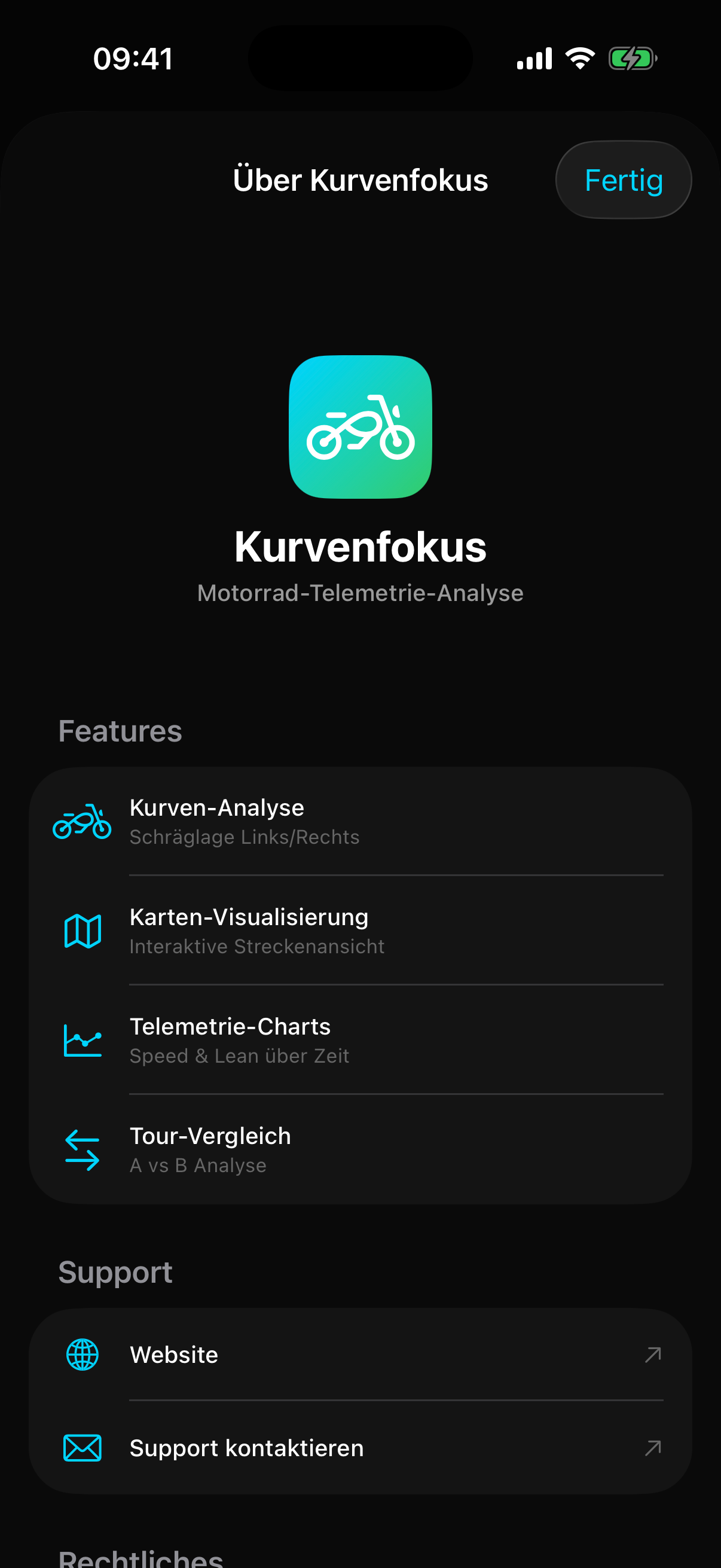
Compact and clear
Vertical scroll layout — everything at a glance, optimized for easy one-handed use.
iPad Screenshots
Bigger display, more detail. Map and charts side by side for the clearest overview.
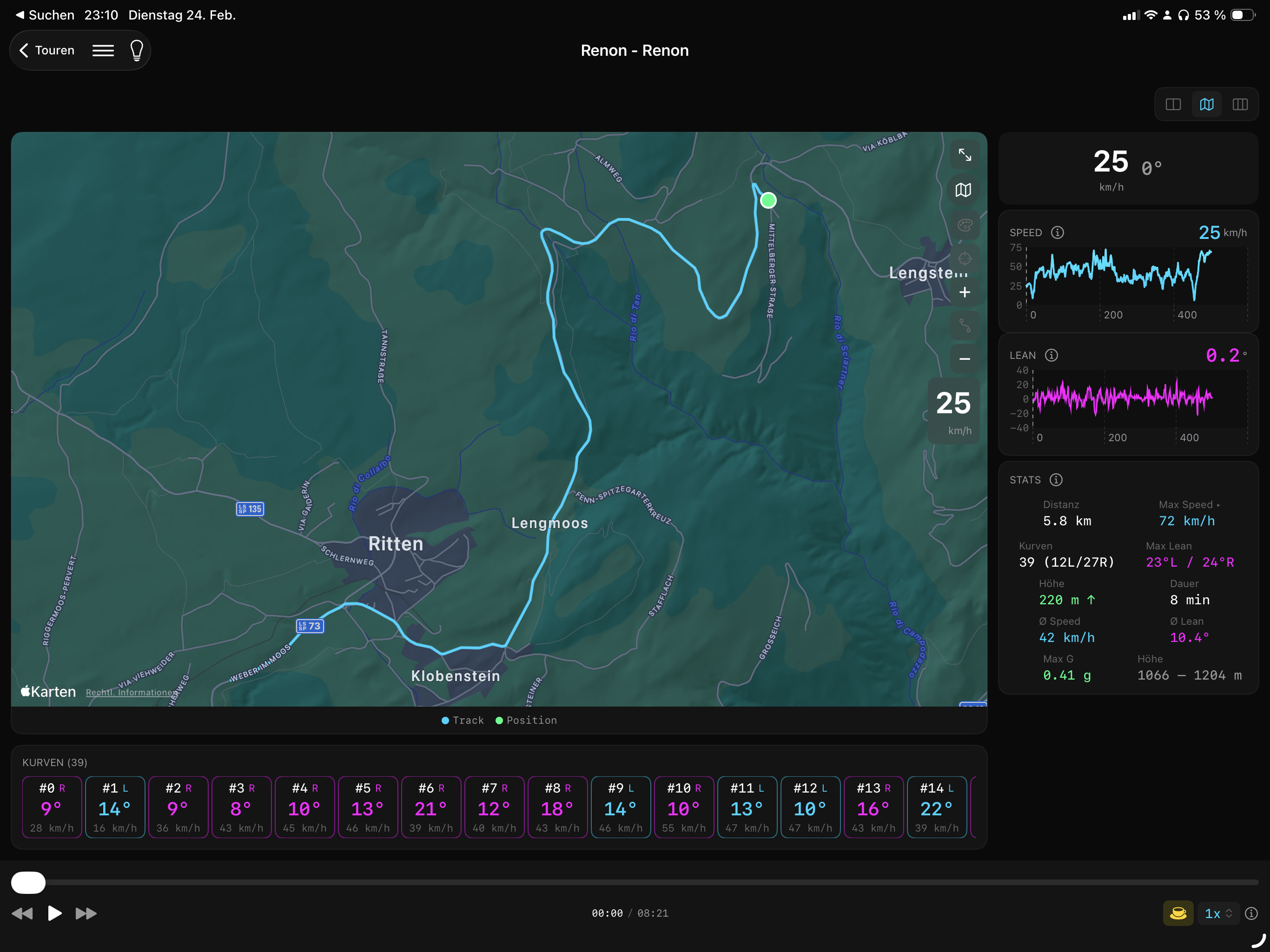
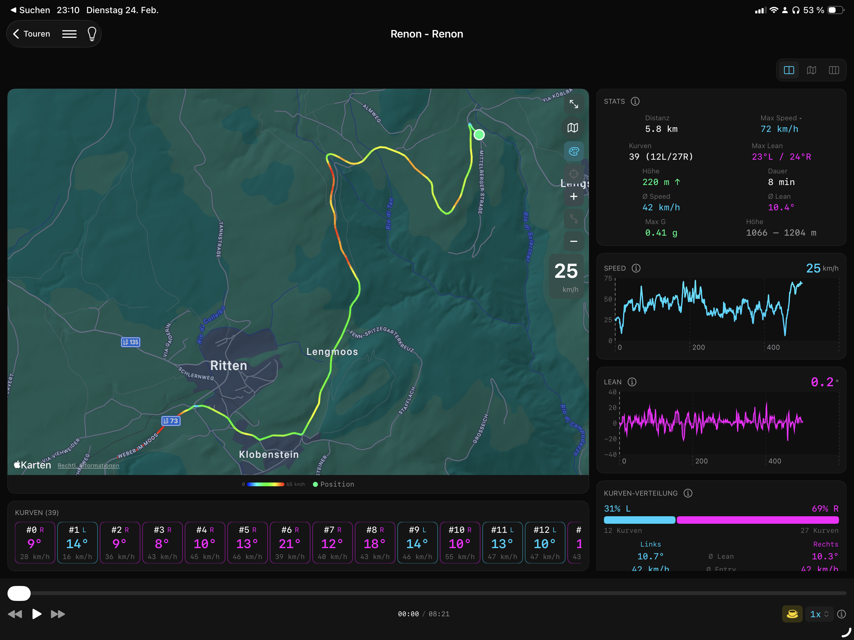
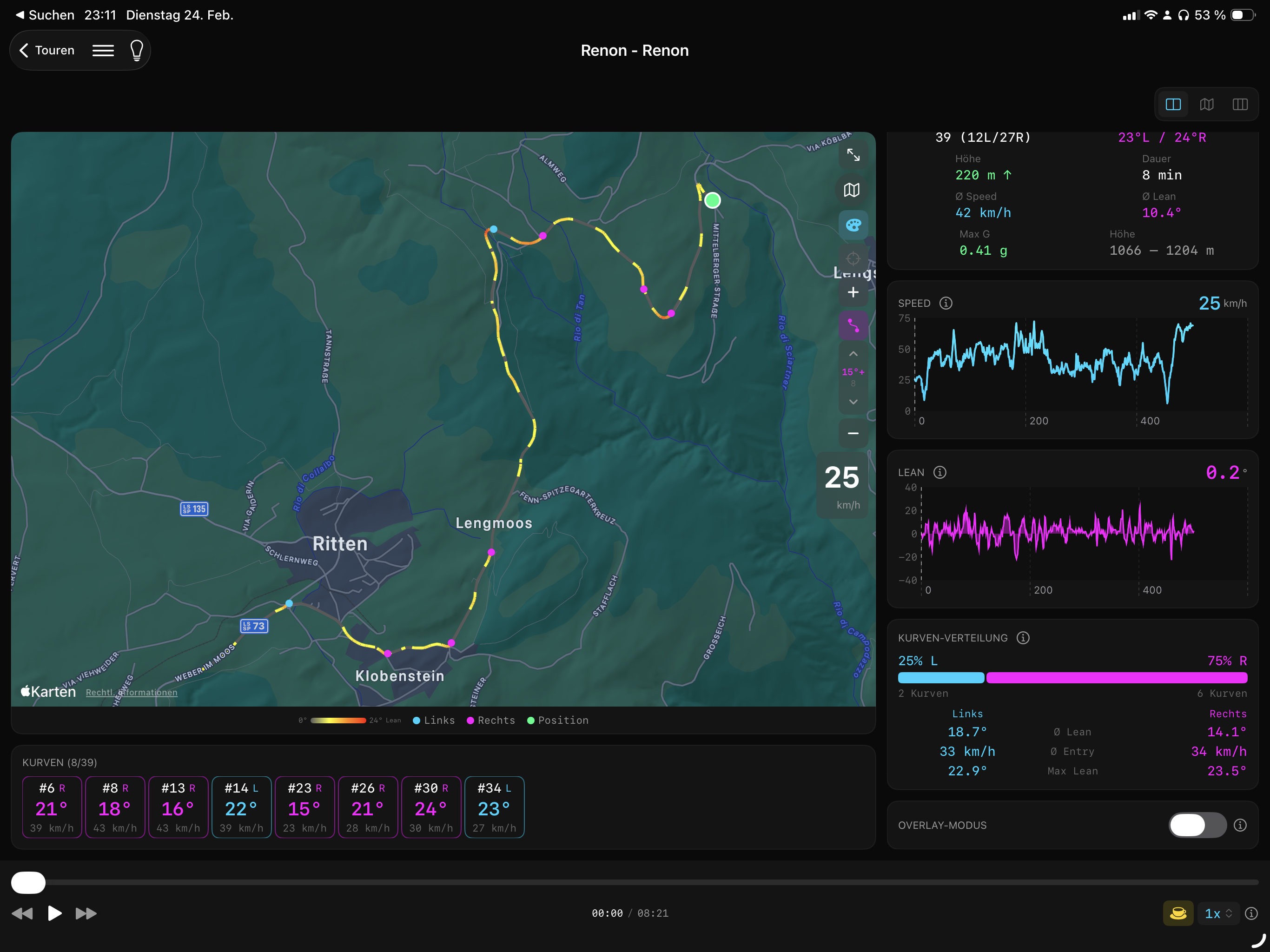
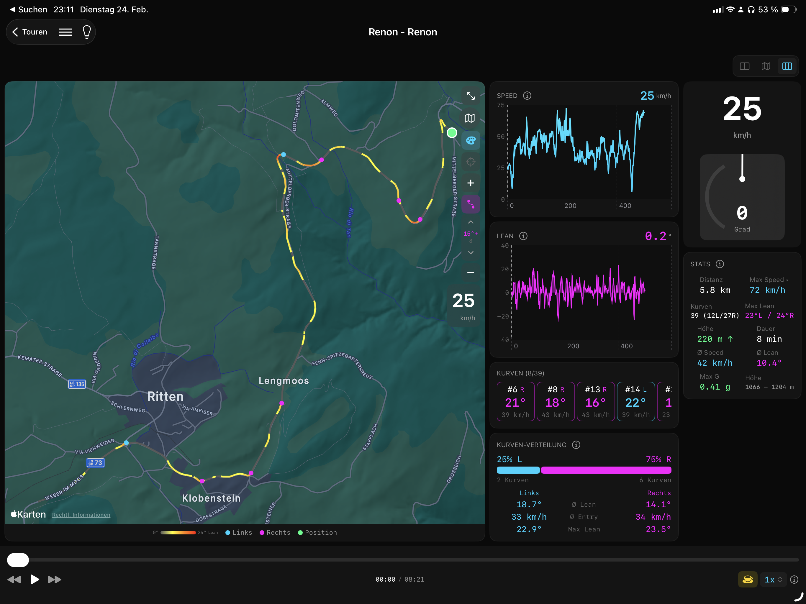
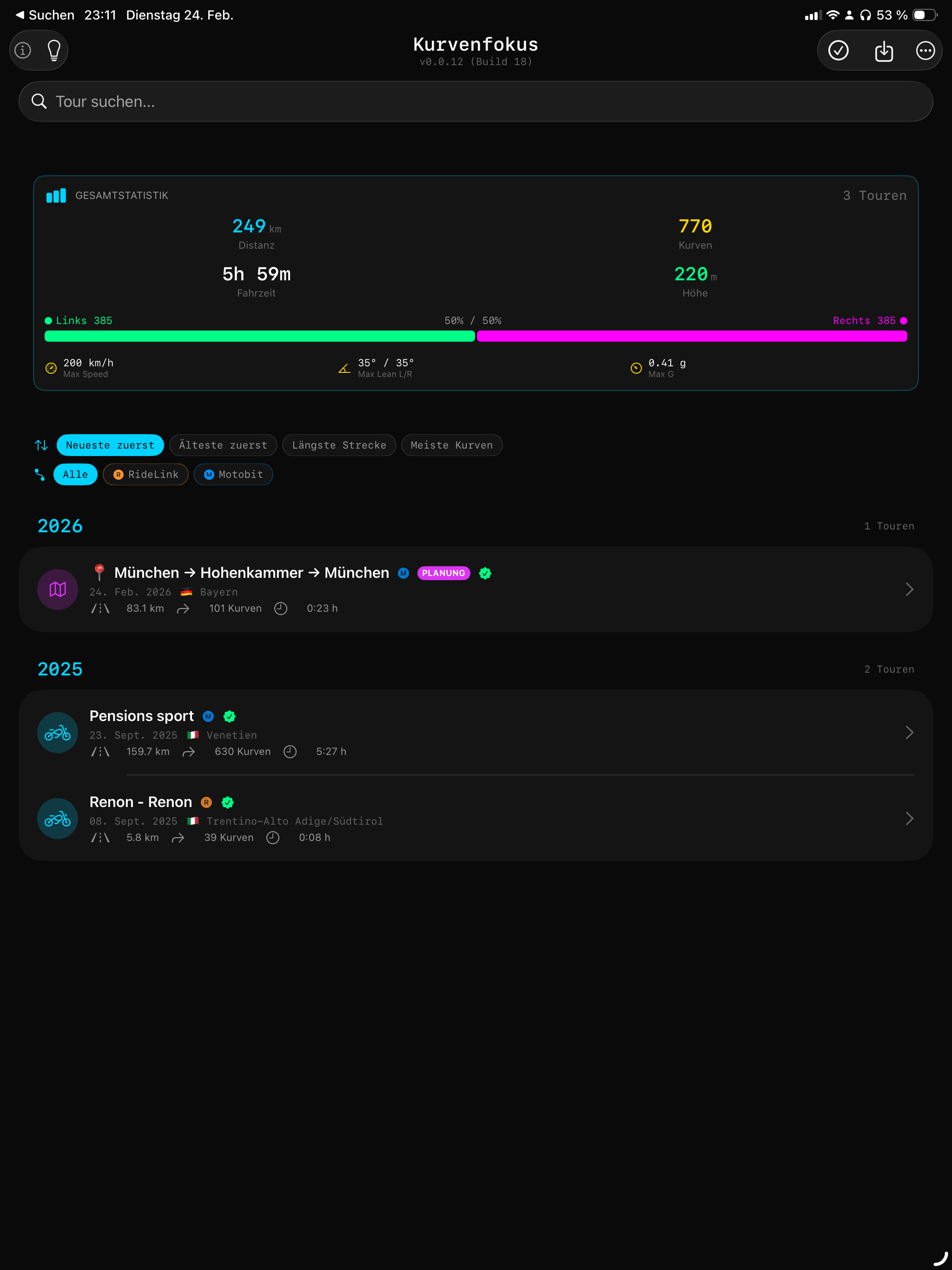
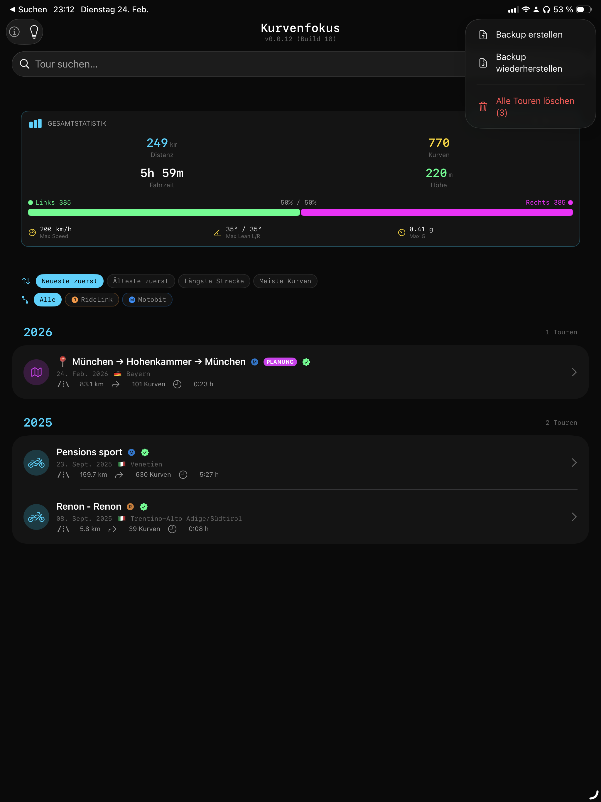
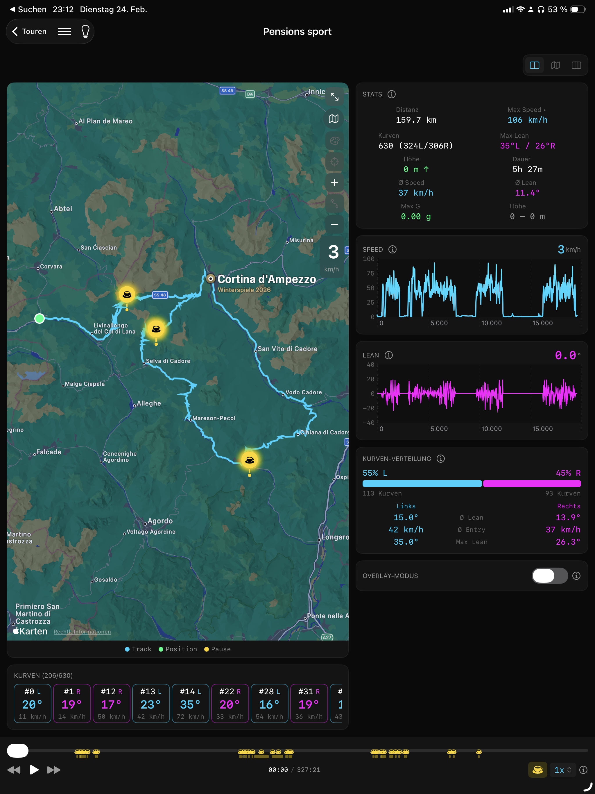
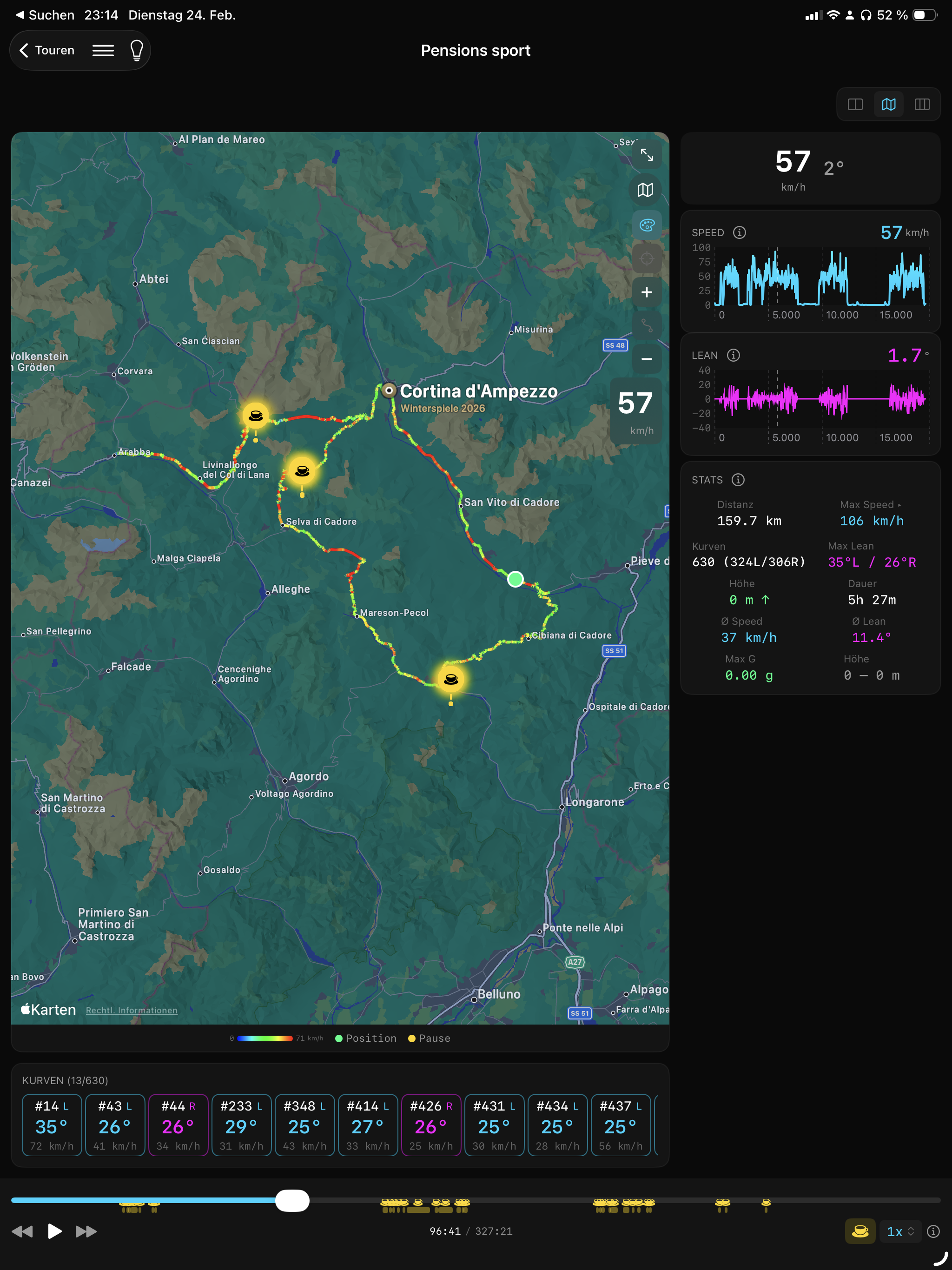
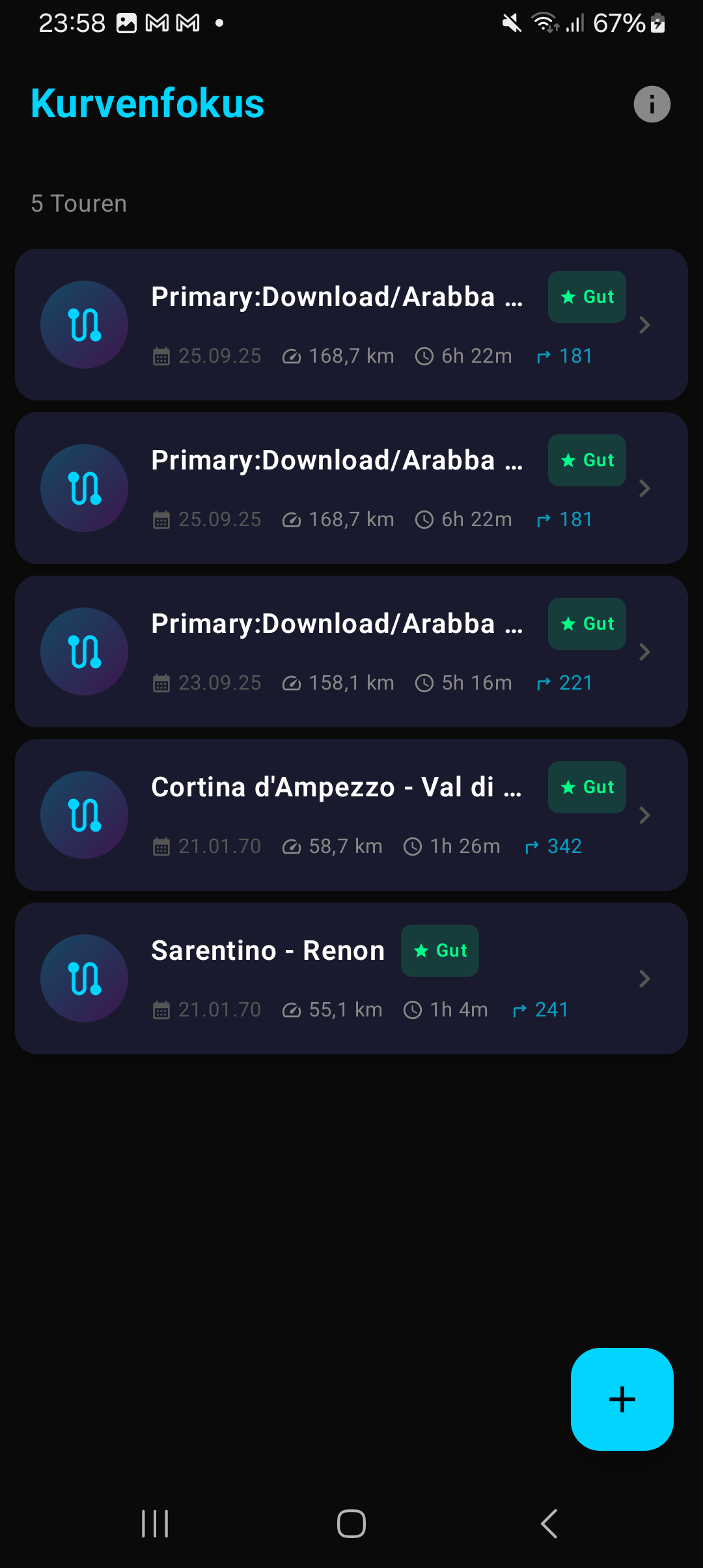
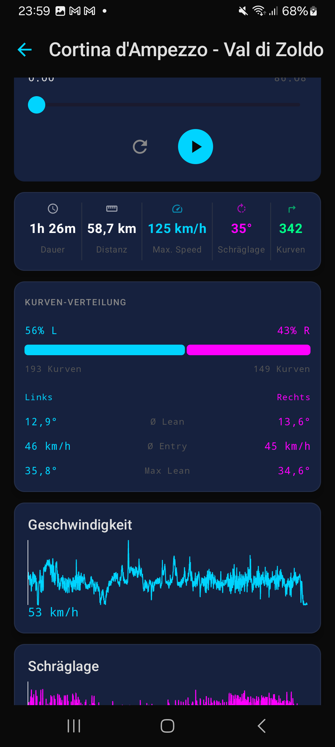
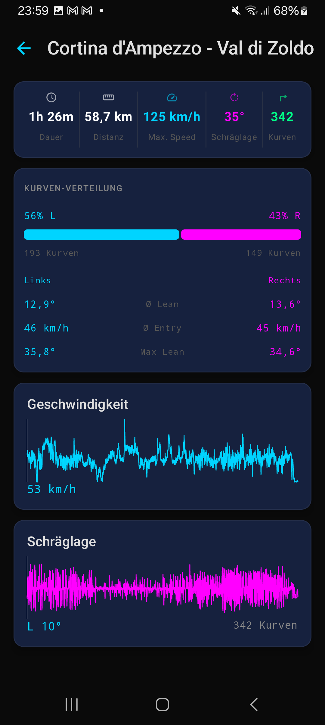
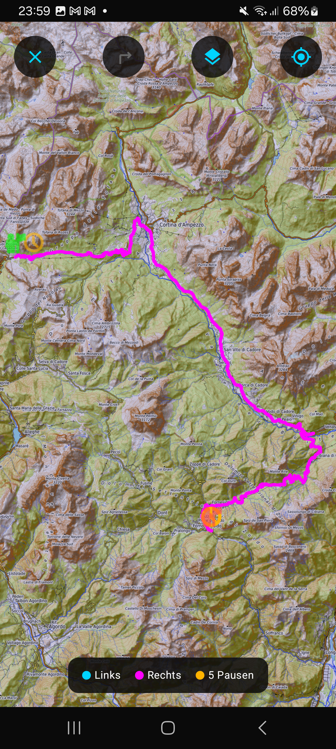
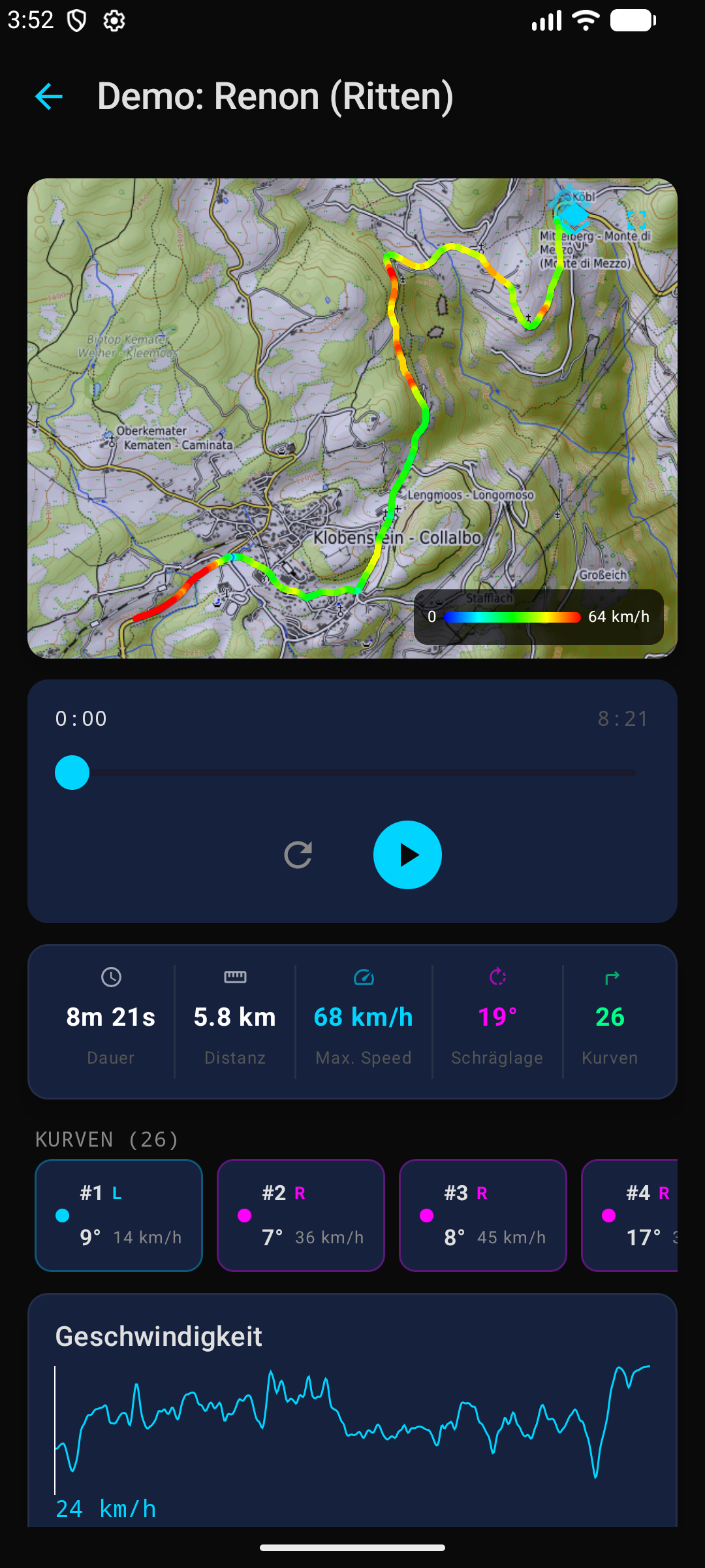
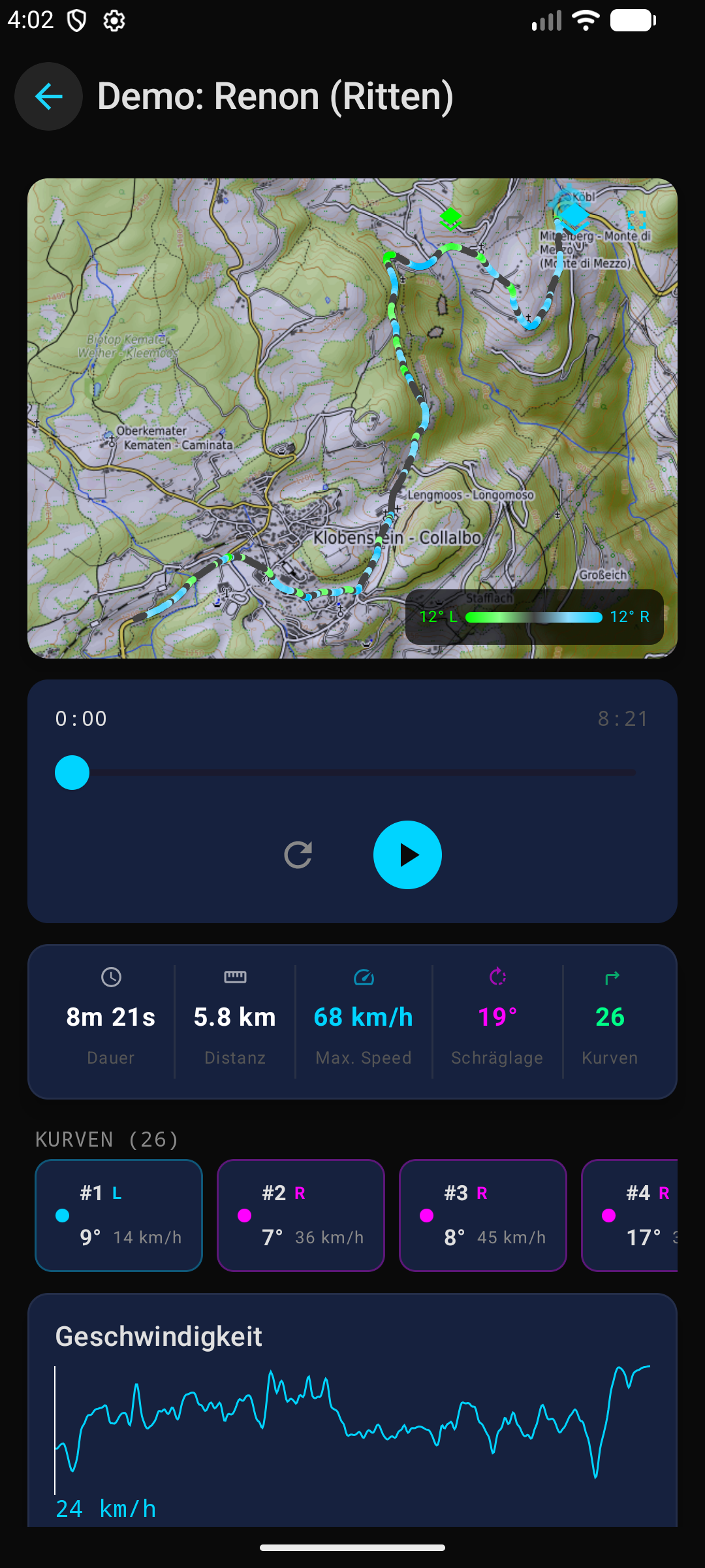
Android Screenshots
Material Design 3 — dark theme with the same features as the iOS version.
iOS vs. Android — feature comparison
Feature comparison verified against the code · current versions: iOS v1.0.0 · Android v0.0.19
| Feature | iOS | Android |
|---|---|---|
| IMPORT | ||
| RideLink WingMan JSON import | ✓ | ✓ |
| Calimoto Plus GDPR import | ✓ | ✓ |
| Planned routes (isPlanned) | ✓ | ✓ |
| Batch import (multiple files) | ✓ | ✓ |
| Drag & Drop Import | ✓ | — |
| Demo ride (auto-import) | ✓ | ✓ |
| Import pre-check & summary | ✓ | ✓ |
| Share import report | ✓ | ✓ |
| Duplicate detection | ✓ | ✓ |
| Auto-merge (same day/route) | — | ✓ |
| RaceBox VBO import (Mini S) | ✓ | — |
| Curve Tracker Import (MotoLeaning) | ✓ | ✓ |
| Import status banner (app stays usable) | ✓ | — |
| MAP | ||
| Fullscreen map | ✓ | ✓ |
| Speed heatmap | ✓ | ✓ |
| Lean-angle heatmap | ✓ | ✓ |
| Map styles (2+ / 4) | ✓ | ✓ |
| Pause markers on map | ✓ | ✓ |
| Speed peak markers | ✓ | ✓ |
| CHARTS | ||
| Lean-angle chart | ✓ | ✓ |
| Elevation chart | ✓ | ✓ |
| Chart tap (jumps to that point in time) | ✓ | ✓ |
| PLAYBACK | ||
| Play/Pause/Reset | ✓ | ✓ |
| Playback 0.25x–20x (8 speeds) | ✓ | ✓ |
| Pause skipping (auto) | ✓ | ✓ |
| CORNERS | ||
| Heading-based detection (GPX) | ✓ | ✓ |
| GPS-based lean-angle analysis (beta) | ✓ | ✓ |
| Corner filter (OFF/ALL/>15°/>25°/>35°) | ✓ | ✓ |
| Corner detail panel | ✓ | ✓ |
| Entry/mid/exit timing | ✓ | ✓ |
| RIDES | ||
| Sort (date/name/distance/corners) | ✓ | ✓ |
| Year grouping | ✓ | ✓ |
| Filter by import source | ✓ | ✓ |
| Auto region & auto title | ✓ | ✓ |
| COMPARISON | ||
| iPad Side-by-Side Layout | ✓ | — |
| Overlay Multi-Track | ✓ | ✓ |
| ROUTE-MATCHING | ||
| Route fingerprinting | ✓ | — |
| Similarity score | ✓ | — |
| Round-trip detection | ✓ | — |
| PASSES & GOLD ROADS | ||
| Pass map (gold pins, Gold Roads crowns) | ✓ | — |
| Automatic pass scan + discovery notice | ✓ | — |
| Pass marking in the ride list (4 styles) | ✓ | — |
| Gold Roads (88 routes, automatically detected) | ✓ | — |
| EXPORT | ||
| GPX & CSV export | ✓ | ✓ |
| Stats stickers (transparent PNGs) | ✓ | ✓ |
| Story Cards (6 styles) | ✓ | ✓ |
| Optional Story Card branding (toggle on/off) | ✓ | — |
| Screenshot export | ✓ | ✓ |
| Backup & Restore | ✓ | ✓ |
| SAFETY | ||
| Local data storage (no cloud) | ✓ | ✓ |
| Encryption | ✓ | ✓ |
| Recently Deleted for rides (restorable for 30 days) | ✓ | — |
| Automatic local backups (interval selectable) | ✓ | — |
| UI/UX | ||
| iPad layouts (3 modes) | ✓ | — |
| Tips dialog & HelpHint system | ✓ | ✓ |
Interactive map
MapKit with track, corner markers, pause markers, and a position marker. Fully interactive.
Track line
GPS track as a colored line on the map. Color changes based on speed or lean angle.
Corner markers
Every detected corner as a tappable marker. Tap to open the corner detail view.
Pause markers
Automatically detected stops as coffee-cup markers. Tap to jump to that point in time.
Position marker
Current playback point as an animated circle on the map.
Map style
Switch between standard, satellite, and hybrid. Fullscreen button at top right.
Speed color coding
Track color shows speed: green (slow) → yellow → red (fast).
Supported formats
Kurvenfokus supports all common GPS track formats. Import through the Files app, AirDrop, or Share Sheet.
GPS Exchange Format — the standard format for GPS tracks. Supported by most GPS devices and apps.
Flexible and Interoperable Data Transfer — a format from Garmin and other sports devices.
Compressed KML format — supported by Google Earth and many navigation devices.
Keyhole Markup Language — an XML-based format for geographic data.
Ways to import
RideLink, WingMan, Calimoto, Motobit, and Komoot are trademarks or products of their respective providers and are not affiliated with Kurvenfokus or MVXLabs. They are mentioned solely to indicate format compatibility.